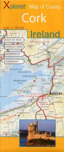
Xploreit Map of County Cork, Ireland: 1:100 000
Synopsis
County Cork is the largest county in Ireland and has a spectacular coastline stretching from the medieval town of Youghal in the south-east all the way to the beautiful Beara peninsula in the south-west. It has a rich heritage of megalithic monuments, medieval churches and castles - many which can be found inland. This map will guide you to the numerous leisure spots and renowned destinations such as Blarney Castle, King Charles Fort and Cape Clear Island. All the information is shown on one double-sided map sheet. Parts of Counties Limerick, Kerry, Tipperary and Waterford are also included. Golf courses, angling locations, sailing centres, beaches for swimming and surfing, historic sites, tourist centres and many other points of interest are clearly identified. The scale of the Cork map is 1:100,000. * Waterproof and tear-proof * Detailed Index * Tourist Attractions highlighted, as well as walks, cycle routes and scenic drives * Local mountains, rivers and lakes
Publisher information
- Publisher: Fountain Software and Publications Ltd
- ISBN: 9780955265525
- Number of pages: 1
- Dimensions: 255 x 110 mm
- Weight: 100g
- Languages: English
You may also like...