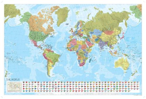
World Political Marco Polo Wall Map with Flags
Synopsis
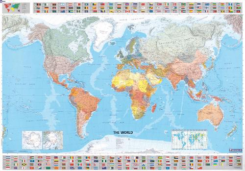
Fascinating World Wall Map - ideal for a classroom, bedroom or office wall
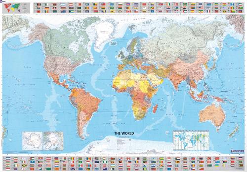
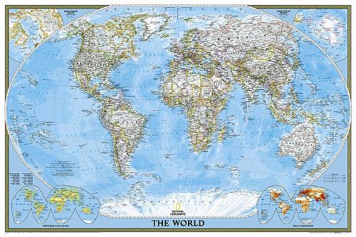
Experience the world at your fingertips with this large, laminated, World Wall Map with flags. The vivid colours and clear labeling let you easily pinpoint countries, capitals, oceans and more, making planning your dream trip or teaching geography a breeze. The generous 120 x 80 cm size is big enough for a classroom and the durable lamination allows you to write on it with dry erase markers, then wipe clean for repeated use. With the level of detail at 1: 35 000 000 scale, it's the perfect reference map for students and travellers alike.
In addition to the beautiful, colourful illustration, it includes:
- national flags of each country
- country names, capital cities and country codes
Supplied in a protective tube, this fascinating, easy-to-read world wall map looks great on any wall. Ideal as a poster for a bedroom wall, school classroom or planning your dream trip.
Dimensions: 120 x 80 cm
Scale: 1: 35 000 000 | 1cm = 350km | 1inch = 550 miles
Publisher information
- Publisher: MAIRDUMONT GmbH & Co. KG
- ISBN: 9783829767774
- Number of pages: 1
- Dimensions: 870 x 60 mm
- Weight: 181g
- Languages: English
You may also like...