Reading the maps: a guide to the Irish Historic Towns Atlas
Synopsis
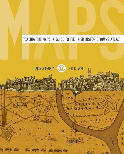
Reading the Maps is a textbook companion to the Irish Historic Towns Atlas, the successful series which documents and assesses the evolution of Irish towns. To date, over 27 published atlases, three bound volumes and ten ancillary publications supply comparative, thematic and specialised studies of Irish urban history. Various town types, from monastic to Viking to modern, illustrate the origins of urban culture portraying similarities and differences across the island of Ireland. This book picks from the best of the atlases. It is richly designed with maps and views taken from the IHTA series along with exercises and summaries that allow for accessible reading and interaction. Reading the Maps is a vibrant production geared towards teachers and users of the atlas from primary school through to post-graduate students.
Authors: Jacinta Prunty, H.B. Clarke
Series editors: Anngret Simms, H.B. Clarke, Raymond Gillespie, Jacinta Prunty; Consultant editor: J.H. Andrews; Cartographic editor: Sarah Gearty; Editorial assistants: Angela Murphy, Jennifer Moore
Publisher information
- Publisher: Royal Irish Academy
- ISBN: 9781904890706
- Number of pages: 264
- Dimensions: 260 x 212 x 18 mm
- Weight: 836g
- Languages: English
You may also like...