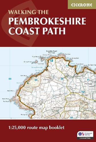
Pembrokeshire Coast Path Map Booklet: 1:25,000 OS Route Mapping
Paperback Published on: 28/02/2024
Price: €18.50
Synopsis
Explore the dramatic cliffs, sandy coves, and hidden bays of the Pembrokeshire Coast Path National Trail, stretching 290 km (180 miles) from Amroth near Tenby to St Dogmaels by Cardigan.
Walk one of Wales’ most iconic long-distance routes, showcasing breathtaking coastal scenery, wildlife-rich reserves, historic harbours, and medieval towns on a rewarding two-week journey along Pembrokeshire’s rugged shoreline.
This map booklet provides all the detailed mapping you need to walk the Pembrokeshire Coast Path National Trail:
- Features 1:25,000 Ordnance Survey (OS) maps with the full route line clearly shown.
- Covers the entire trail from Amroth to St Dogmaels.
- Suitable for walking the trail in either direction.
- Compact and pocket-sized, ideal for your jacket pocket or rucksack.
- Includes the relevant extract from the OS Explorer map legend.
- Provides alternate routes for high tides and military range closures.
- For step-by-step route descriptions, an accompanying Cicerone guidebook, 'Walking the Pembrokeshire Coast Path', is also available. This guidebook includes a copy of the map booklet.
- Part of the Cicerone series for National Trail walkers.
Plan your Pembrokeshire Coast Path adventure with confidence and enjoy every stage of this unforgettable journey along Wales’ spectacular coastline, brought to you by Cicerone, the trusted experts in outdoor guidebooks.
Publisher information
- Publisher: Cicerone Press
- ISBN: 9781786312099
- Number of pages: 80
- Dimensions: 172 x 116 x 5 mm
- Weight: 100g
- Languages: English
You may also like...
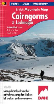
Cairngorms and Lochnagar
Price: €27.00
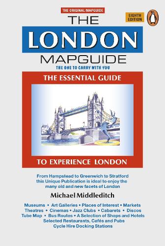
The London Mapguide (8th Edition)
Price: €14.00
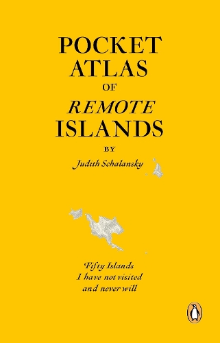
Pocket Atlas of Remote Islands
Price: €31.00
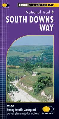
South Downs Way
Price: €23.50
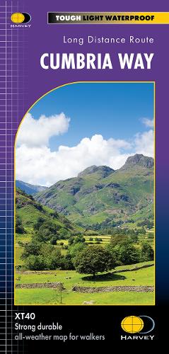
Cumbria Way
Price: €23.50
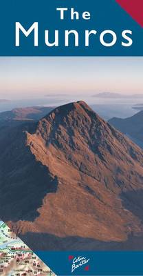
The Munros Map
Price: €8.50
Pentland Hills XT25
Price: €22.50
Renfrew 1895
Price: €5.00
Southern Highlands
Price: €24.50

Strangford Lough
Price: €15.50
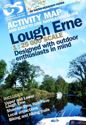
Lough Erne
Price: €13.00
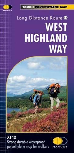
West Highland Way
Price: €23.50
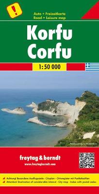
Korfu, Automap 1:50.000
Price: €18.50