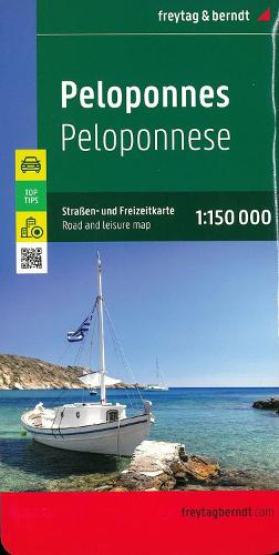
Peloponnes, Automap 1:150.000, Top 10 Tips
Synopsis
The Peloponnese road and leisure map at a scale of 1:150,000 contains a lot of information that is useful and helpful for a trip to the Greek peninsula. The branched road network is shown exactly, scenic roads are highlighted in color and many destinations are marked on the map. Motorists and motorcyclists appreciate the precise cartography from freytag & berndt, especially for on-site planning and orientation. Caravan drivers and campers will of course find all campsites and pitches on the map. All place names are entered in Greek and German on the map. Peloponnese road map information Scale 1:150,000 Info guide with top tips vantage points Campsites and pitches Register of places with postcodes Downtown maps: Korinthos, Nafplio, Patra, Sparti. double sided Infoguide The 'Top Tips' series offers a small booklet in which the ten most important sights are briefly described in several languages (languages: Greek, German, English, French, Italian, Dutch, Spanish) Popular tourist spots on the Peloponnese are Epidaurus, Hydra, Corinth, Mani, Monemvasia, Mycenae, Nafplio, Olympia, Patras and Porto Cheli.
Publisher information
- Publisher: Freytag-Berndt
- ISBN: 9783707921762
- Number of pages: 2
- Dimensions: 255 x 130 mm
- Weight: 200g
- Languages: English