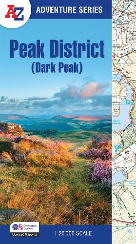
Peak District (Dark Peak): With Ordnance Survey Mapping
Paperback Published on: 27/03/2025
Price: €17.00
Synopsis
The A-Z Adventure Series uses Ordnance Survey mapping and is the perfect companion for walkers, off-road cyclists, and anyone wishing to explore the great outdoors.
This A-Z Adventure Atlas of the Peak District (Dark Peak) features 50 pages of continuous Ordnance Survey mapping covering:
- Peak District National Park (northern part)
- Kinder Scout
- Hope Valley
- Hathersage
- Castleton
- Snake Pass
- Derwent Valley
This National Trail Map features detailed mapping at a scale of 1:25 000, providing complete coverage of the Peak District (Dark Peak). Additional features include:
- Information Centres
- Hotels/B&Bs
- Youth Hostels
- Campsites (seasonal opening)
- Public Houses
- Shops
- Restaurants
- Cafes (seasonal opening)
- Petrol Stations
Other books available in the A-Z Adventure series include: Pembrokeshire Coast Path, Peddars Way and Norfolk Coast Path, South Downs Way, Cotswold Way, South West Coast Path and The North Coast 500.
Publisher information
- Publisher: HarperCollins Publishers
- ISBN: 9780008744205
- Number of pages: 60
- Dimensions: 240 x 134 x 4 mm
- Weight: 120g
- Languages: English
You may also like...
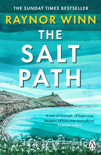
The Salt Path
Price: €15.50
The Peak District
Price: €18.50
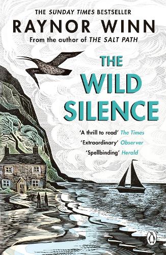
The Wild Silence
Price: €15.50
The English Lakes South-Eastern Area
Price: €18.50
Wanderers
Price: €15.50
A Philosophy of Walking
Price: €15.50
The Bone Cave
Price: €15.50
How to Read a Tree
Price: €18.50

Homeward Bound
Price: €31.00

The Hidden Seasons
Price: €31.00
Zoe Tehrani's Britain, A Walker's Guide
Price: €42.00
The Path More Travelled
Price: €35.00

The Walking Cure
Price: €15.50

Lone Wolf
Price: €17.00

The Hidden Seasons
Price: €15.50