Synopsis
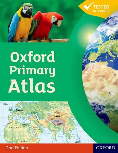
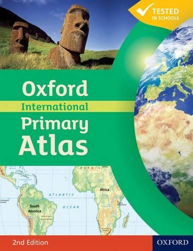
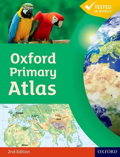
The Oxford Primary Atlas is a clear, bright, and informative atlas designed for all 7–11 year olds. This new edition includes up-to-date country data and easy-to-read colourful mapping, presented in an accessible layout based on research into how children use maps.
Key Features:
• Curriculum-Aligned: Covers key themes such as landscapes, water, settlements, connections, and environments.
• Engaging Design: Clear mapping, colourful illustrations, and attractive artwork to provide a sense of place.
• Easy-to-Use Tools: Learning statements summarise each theme, focus panels prompt enquiry, and innovative grid codes help children find places.
• Visual Support: Colourful photographs aid understanding of map symbols and stimulating graphics make large numbers easy to understand.
• Supports Key Stage 2: Specially written to meet primary geography requirements and includes popular features from the Oxford Junior Atlas.
The Oxford Primary Atlas is also accompanied by an Activity Book for independent work to develop map literacy skills and an e-Atlas CD-ROM for interactive whole-class display.
Publisher information
- Publisher: Oxford University Press
- ISBN: 9780198480174
- Number of pages: 88
- Dimensions: 293 x 226 x 5 mm
- Interest age: From 7 years
- Weight: 346g
- Languages: English
You may also like...