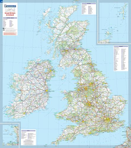
Great Britain & Ireland - Michelin rolled & tubed wall map Encapsulated: Wall Map
Map Published on: 06/04/2004
Price: €24.00
Synopsis
This Great Britain and Ireland wall map will give an overview of British and Irish cities, administrative boundaries, as well as primary and secondary road networks at a glance.
This map is presented on a scale 1/1,000,000 and measures 100 x 88 cm.
Our maps are regularly updated even if the ISBN does not change.
(Edition updated in 2015)
Publisher information
- Publisher: Michelin Editions des Voyages
- ISBN: 9782067106529
- Number of pages: 1
- Dimensions: 250 x 113 x 5 mm
- Weight: 118g
- Languages: English
You may also like...

Cairngorms and Lochnagar
Price: €27.00
Skye Trail
Price: €23.50
The London Mapguide (8th Edition)
Price: €14.00
South Downs Way
Price: €23.50
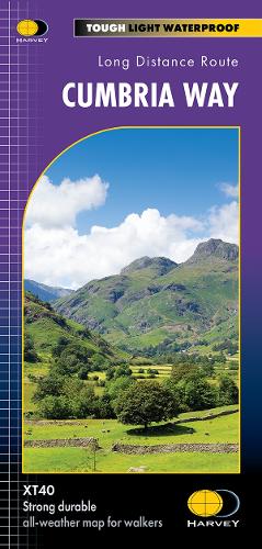
Cumbria Way
Price: €23.50
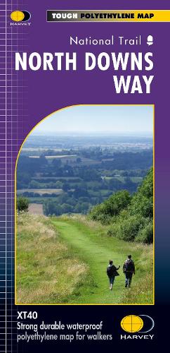
North Downs Way
Price: €23.50
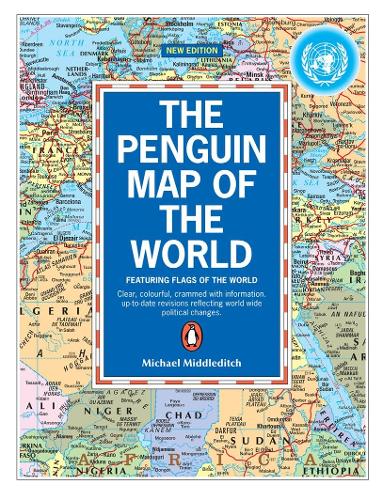
The Penguin Map of the World
Price: €13.00

Oxford Aerial Map and Guide
Price: €8.50
Great Glen Way
Price: €23.50

Glens of Antrim
Price: €13.00
Scotland Map
Price: €21.00

Royal Leamington Spa
Price: €4.00

Discover Cairngorms National Park
Price: €14.00

Korfu, Automap 1:50.000
Price: €18.50