Synopsis
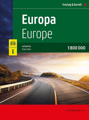
The European Road Atlas 1:800,000 is the perfect companion for anyone traveling through Europe by car, camper, or motorcycle. Ideal for route planning and an indispensable orientation aid. Information on the European Road Atlas Scale 1:800,000 Concealed spiral binding Camping and pitches Tourist information Place register with postcodes Format: 23 x 29,7 cm The ideal road atlas for Europe. The road network is precisely depicted, scenic routes are highlighted in color, and points of interest are marked on the map. An additional map section shows the whole of Europe at a scale of 1:5.5 million. Car and motorcycle drivers particularly appreciate freytag & berndt's precise cartography for planning and navigating on the road. For RV and camper travelers, campsites and parking spaces are listed directly in the atlas. Convenient spiral binding: The Europe Road Atlas is particularly convenient to use, thanks to its spiral binding, which allows it to be easily opened. This allows you to keep the desired page open even while driving.
Publisher information
- Publisher: Freytag-Berndt
- ISBN: 9783707923766
- Number of pages: 2
- Dimensions: 297 x 210 mm
- Weight: 1000g
- Languages: English
You may also like...