Dublin c.840-c.1540: the medieval town in the modern city
Synopsis
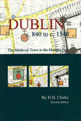
This map and booklet offers a profound visual insight into medieval Dublin. The results of historical research and archaeological exploration are revealed in the form of bright colours and symbols representing features from the city's Gaelic, Viking, Hiberno-Norse, Anglo-Norman and Anglo-Irish past. The information is superimposed on a more modern base map so the hidden medieval urban landscape can be put in context. The map is complemented by a detailed index and introductory booklet. It is an ancillary publication to Irish Historic Towns Atlas, no. 11, Dublin, part I, to 1610 by H.B. Clarke.
Author: H.B. Clarke; Cartography: Sarah Gearty
Series editors: Anngret Simms, H.B. Clarke, Raymond Gillespie; Consultant editor: J.H. Andrews; Cartographic editor: Sarah Gearty: Editorial assistant: Angela Murphy.
Publisher information
- Publisher: Royal Irish Academy
- ISBN: 9781874045991
- Number of pages: 16
- Dimensions: 200 x 124 x 5 mm
- Weight: 113g
- Languages: English