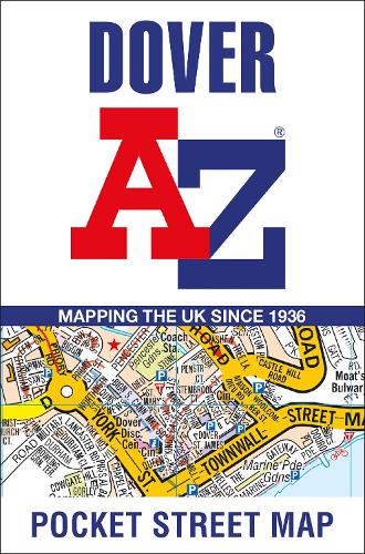
Synopsis
Navigate your way around Dover with detailed street maps from A-Z
This up-to-date, folded A-Z street map includes all of the 1,500 streets in and around Dover as well as:
- Postcode districts, one-way streets and car parks
- Places of interest
- On the reverse side there is a handy index to streets, places of interest, place and area names, park and ride sites, national rail stations, hospitals and hospices
Detailed coverage of an area extending from Napchester in the north to the harbour in the south, and from beyond Jubilee Way to the east and Kearsney in the west.
With its clear mapping at a scale of 5.5 inches to 1 mile, this is the perfect reference map for finding your way around Dover.
Publisher information
- Publisher: HarperCollins Publishers
- ISBN: 9780008560508
- Dimensions: 140 x 90 x 3 mm
- Weight: 40g
- Languages: English
You may also like...

Leeds and Bradford
Price: €22.50
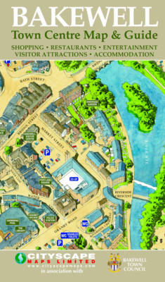
Bakewell Town Centre Map and Guide
Price: €3.00
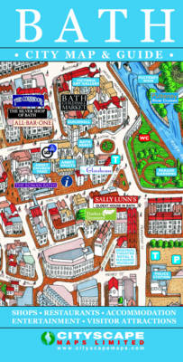
Bath City Map and Guide
Price: €3.00

Atlas of Cork City
Price: €74.50

Orlando PopOut Map
Price: €6.00

Madrid PopOut Map
Price: €6.00

Los Angeles PopOut Map
Price: €6.00

Oxford Aerial Map and Guide
Price: €8.50

Beijing PopOut Map
Price: €6.00

Shanghai PopOut Map
Price: €6.00

Belfast Street Map
Price: €13.00
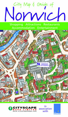
City Map and Guide of Norwich
Price: €3.00

Stockholm PopOut Map
Price: €6.00

Berlin PopOut Map
Price: €6.00
Lisburn Street Map
Price: €13.00