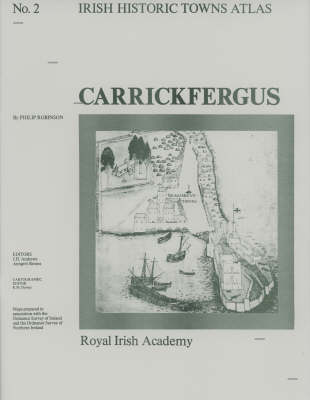
Carrickfergus: Irish Historic Towns Atlas, no. 2
Map Published on: 11/11/1986
Price: €28.00
Synopsis
Number 2 in the Irish Historic Towns Atlas series assembles towns of the Irish Historic Towns Atlas, Carrickfergus illustrates the development of the Northern Irish town in County Antrim by tracing the histories of c. 250 sites in the town. Combined in a large folder are one coloured map, seven pages of black and white maps and plates and 16 pages of text. These towns illustrate characteristic periods of town formation in Ireland and reflect the country's cultural identity through the town's topographical history.
Author: Philip Robinson; Series editors: J.H. Andrews, Anngret Simms; Cartographic editor: K.M. Davies
Publisher information
- Publisher: Royal Irish Academy
- ISBN: 9780901714527
- Number of pages: 16
- Dimensions: 410 x 305 x 5 mm
- Weight: 397g
- Languages: English