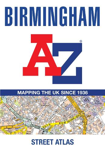
Birmingham A-Z Street Atlas: Accurate Street Map for Easy Navigation (A5)
Paperback Published on: 23/04/2026
Price: €13.00
Synopsis
Navigate your way around Birmingham with this detailed and easy-to-use A-Z Street Atlas.
Printed in full-colour, paperback format, this atlas contains 96 pages of continuous street mapping in a NEW A5 format for ease of use.
Coverage extends to include: Wednesbury, Coleshill, Knowle, Alvechurch, Rubery, Smethick, and West Bromwich.
There are large scale city centre maps of Birmingham and Wolverhampton and a West Midlands rail and Midland Metro transport connections map.
Postcode districts and one-way streets are featured on the mapping.
The index section lists streets; selected flats, walkways and places of interest; place and area names; National Rail and Midland Metro stations; hospitals, NHS Walk-in Centres and hospices.
Publisher information
- Publisher: HarperCollins Publishers
- ISBN: 9780008780739
- Number of pages: 144
- Dimensions: 215 x 149 x 9 mm
- Weight: 200g
- Languages: English
You may also like...
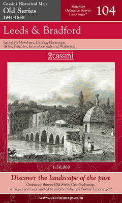
Leeds and Bradford
Price: €22.50
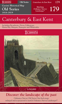
Canterbury and East Kent
Price: €22.50
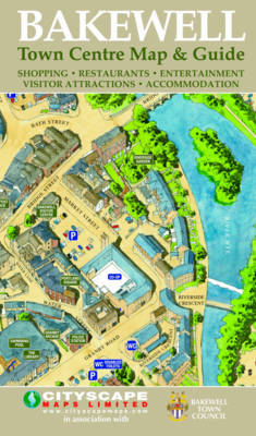
Bakewell Town Centre Map and Guide
Price: €3.00
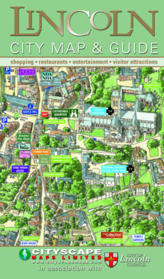
Lincoln City Map and Guide
Price: €3.00
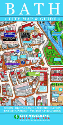
Bath City Map and Guide
Price: €3.00

Atlas of Cork City
Price: €74.50

Orlando PopOut Map
Price: €6.00

Madrid PopOut Map
Price: €6.00

Los Angeles PopOut Map
Price: €6.00

Beijing PopOut Map
Price: €6.00

Orlando PopOut Map
Price: €6.00
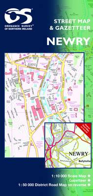
Newry and Mourne
Price: €15.50

Berlin PopOut Map
Price: €6.00